Multiple technologies and expertises are used in the Effidence robotics solutions

EASY-TO-USE AND POWERFUL INSTALLATION & CONFIGURATION TOOLS
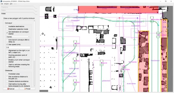
An installation and configuration phase is required for a robot to drive autonomously. This is made with the MapEditor tool.
The first step is to create a LIDAR mapping of the environment with the vehicle in “Follow-me” mode. This map is then uploaded on the MapEditor tool to define:
- items to be considered as landmarks. Those can be natural ones (walls, storage racks, pillars, etc) or specifically added for this purpose, like reflector stickers. However, only a human being is defining which item is to be considered as a landmark by the system,
- all possible routes within the evolution area,
- specific AMR behaviour according to predefined zones: speed limitation, horning, yield, loading/unloading, etc.
The EffiFCS Configurator is the configuration tool to create logic rules within the Fleet Coordinator System (EffiFCS). Traffic management and interface with external equipment (calling button, traffic lights, industrial machine, etc) are fully configurable.
Monitoring of robotized solutions performance indicators
Each single event known by the EffiNAV onboard software of by the EffiFCS coordination software is recorded.
Distances and driving times, arrivals & departures, specific behaviours, etc. are all timely recorded. The complete database is then available through the supervision module from the Fleet Coordination System.
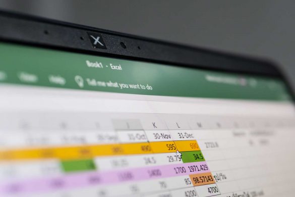
The raw data can be downloaded to be then analysed with a computer spreadsheet.


